
Tenerife
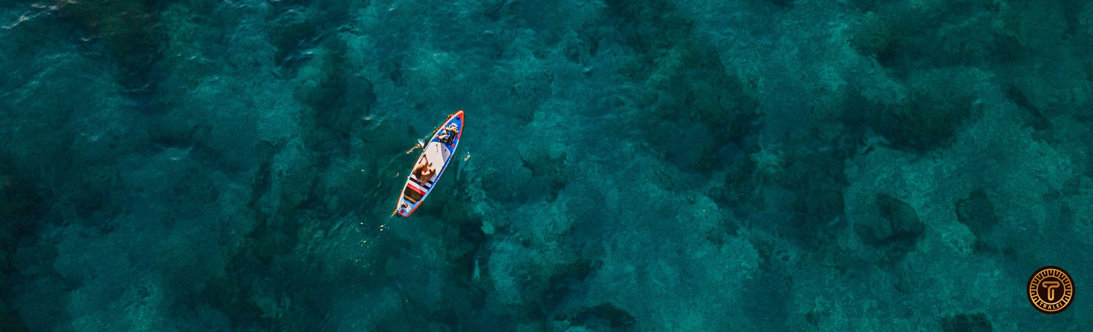
Best Kayaking and paddle Surf (SUP) routes in Tenerife
Guide to the best areas to Kayak and Paddle on the island of Tenerife. With Interactive Map
Tenerife
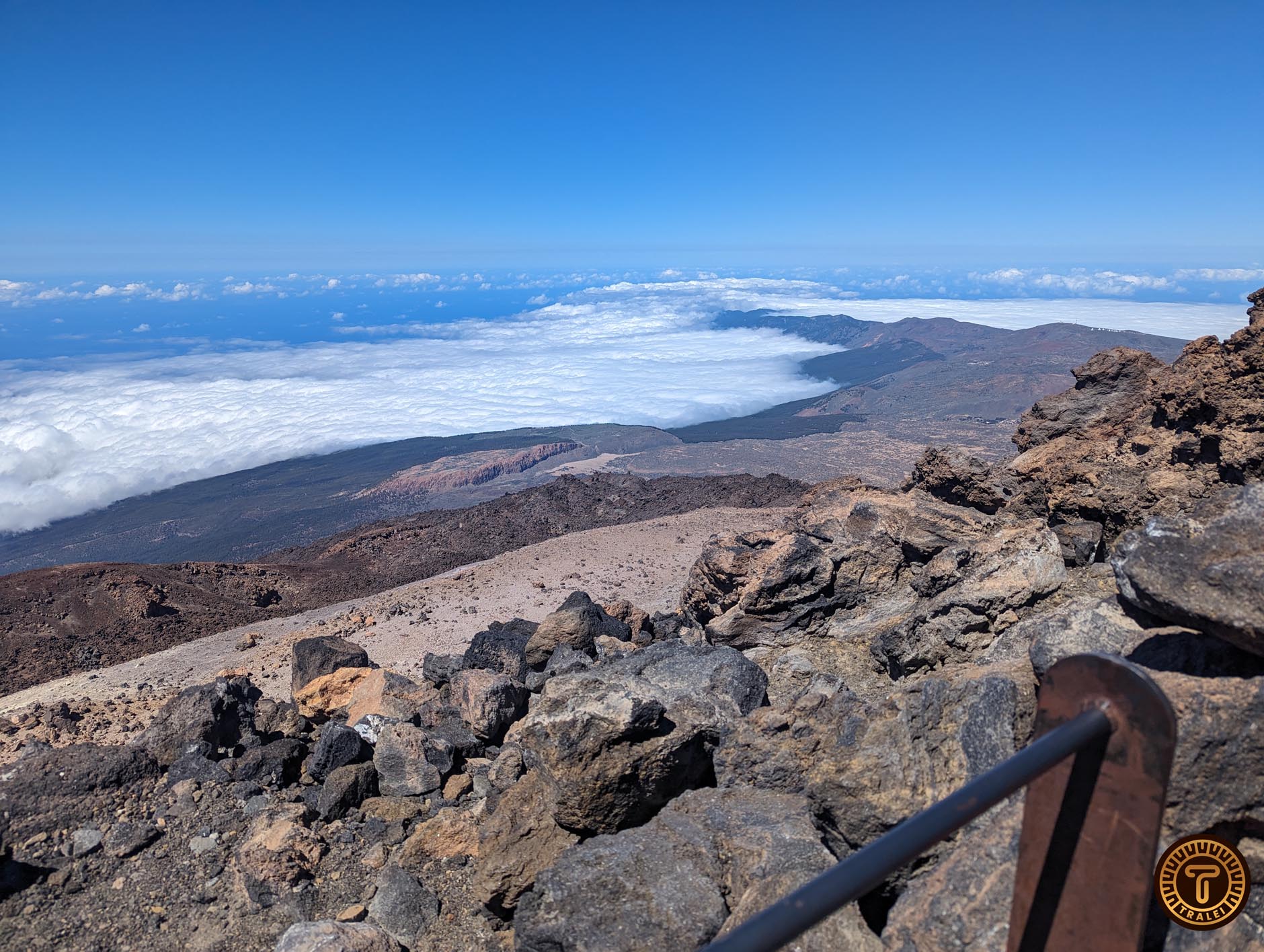
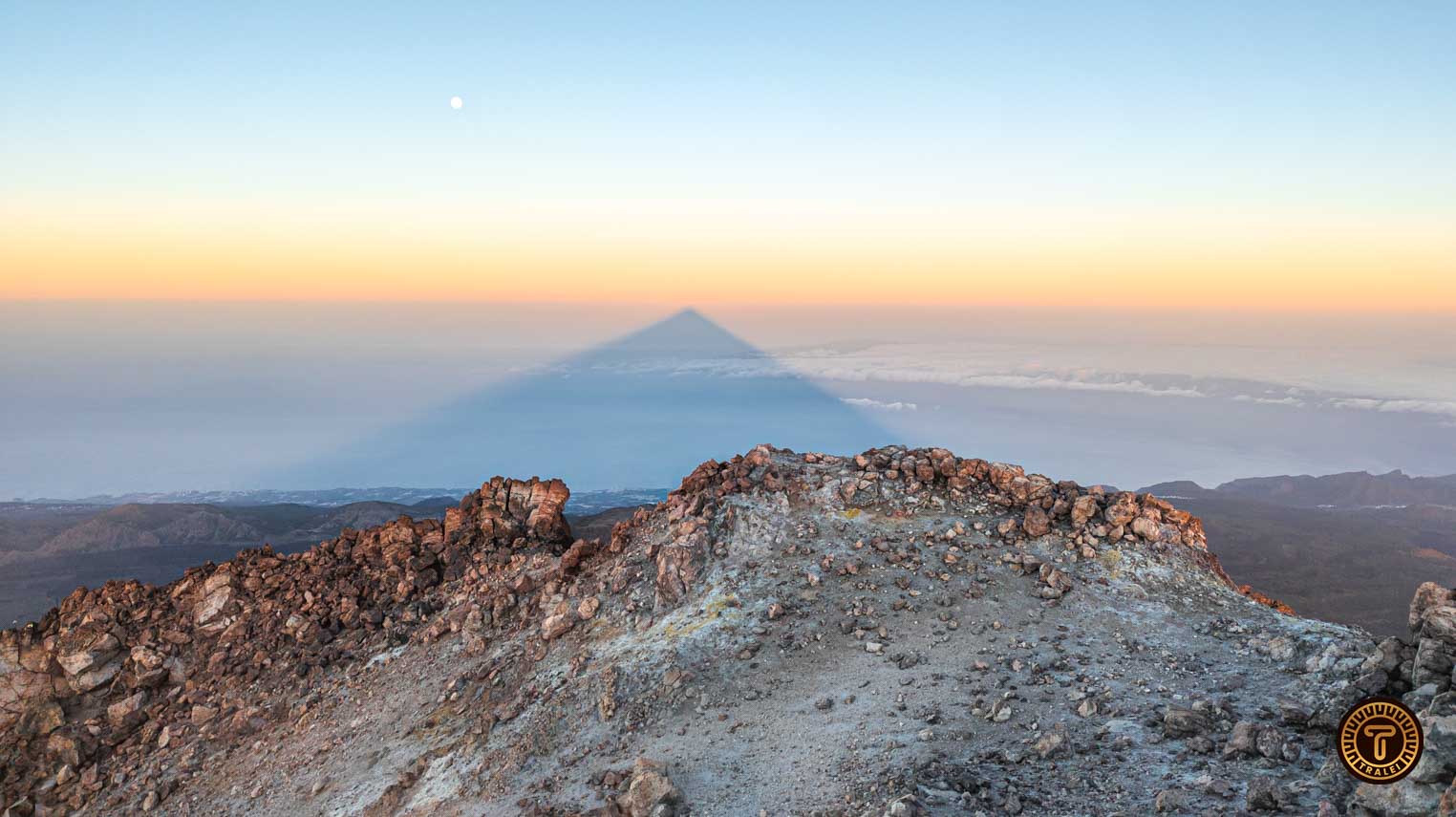
Must Sees From Tenerife
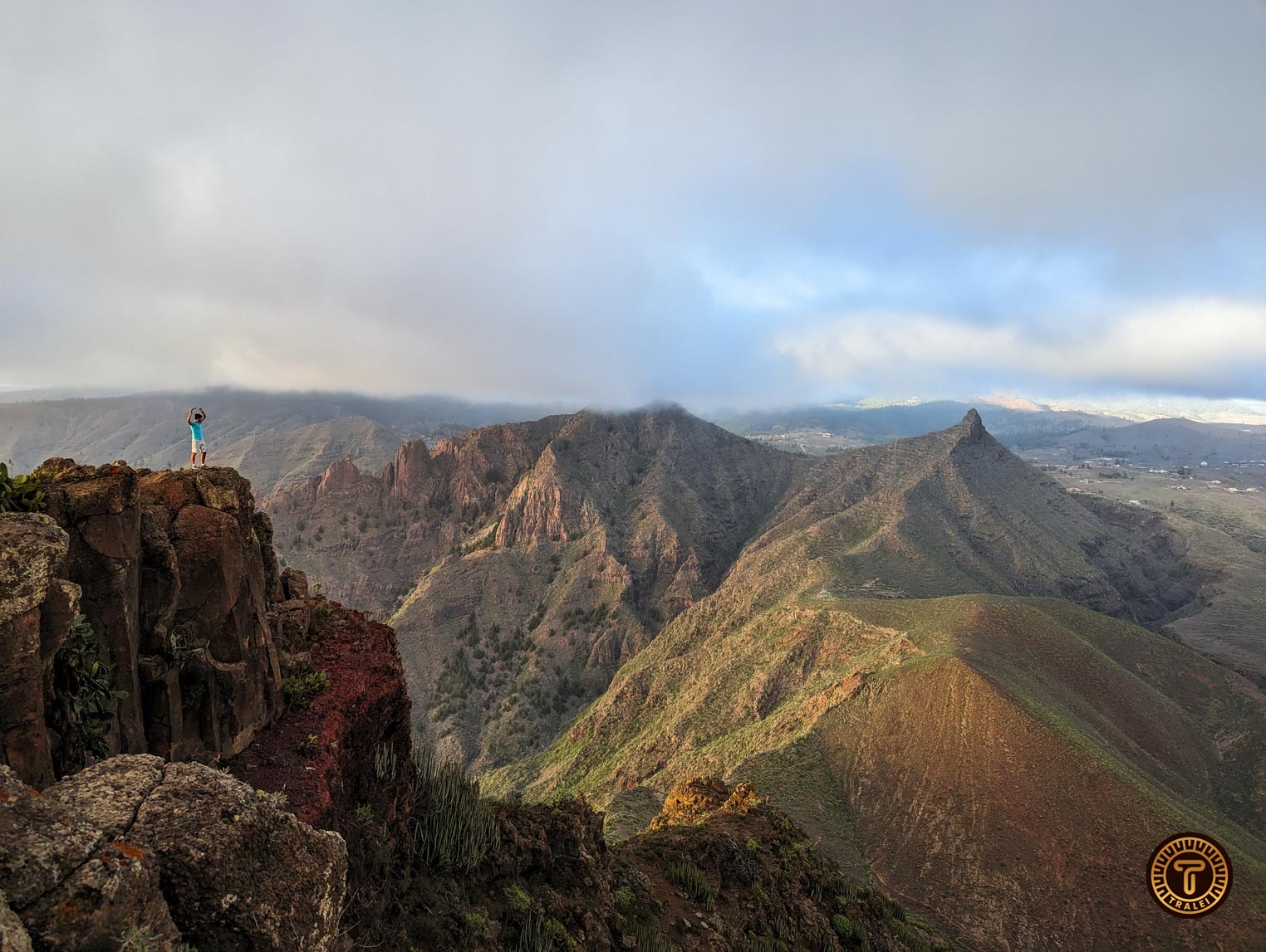
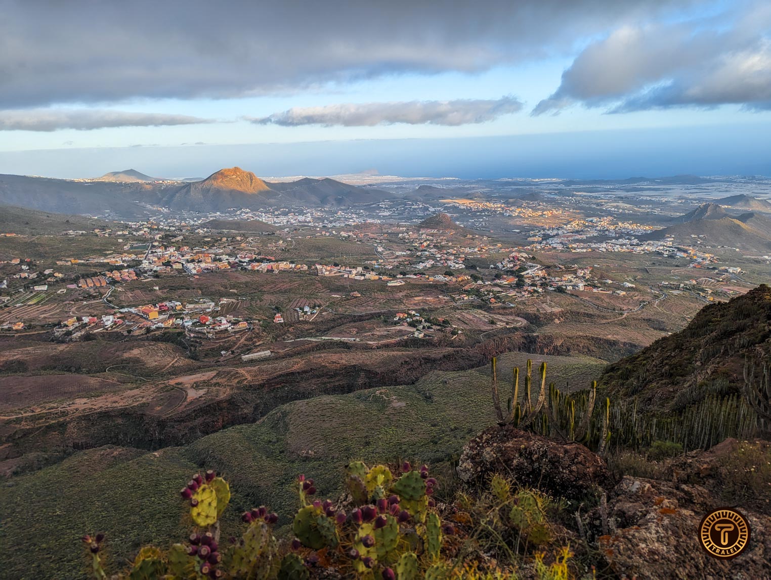
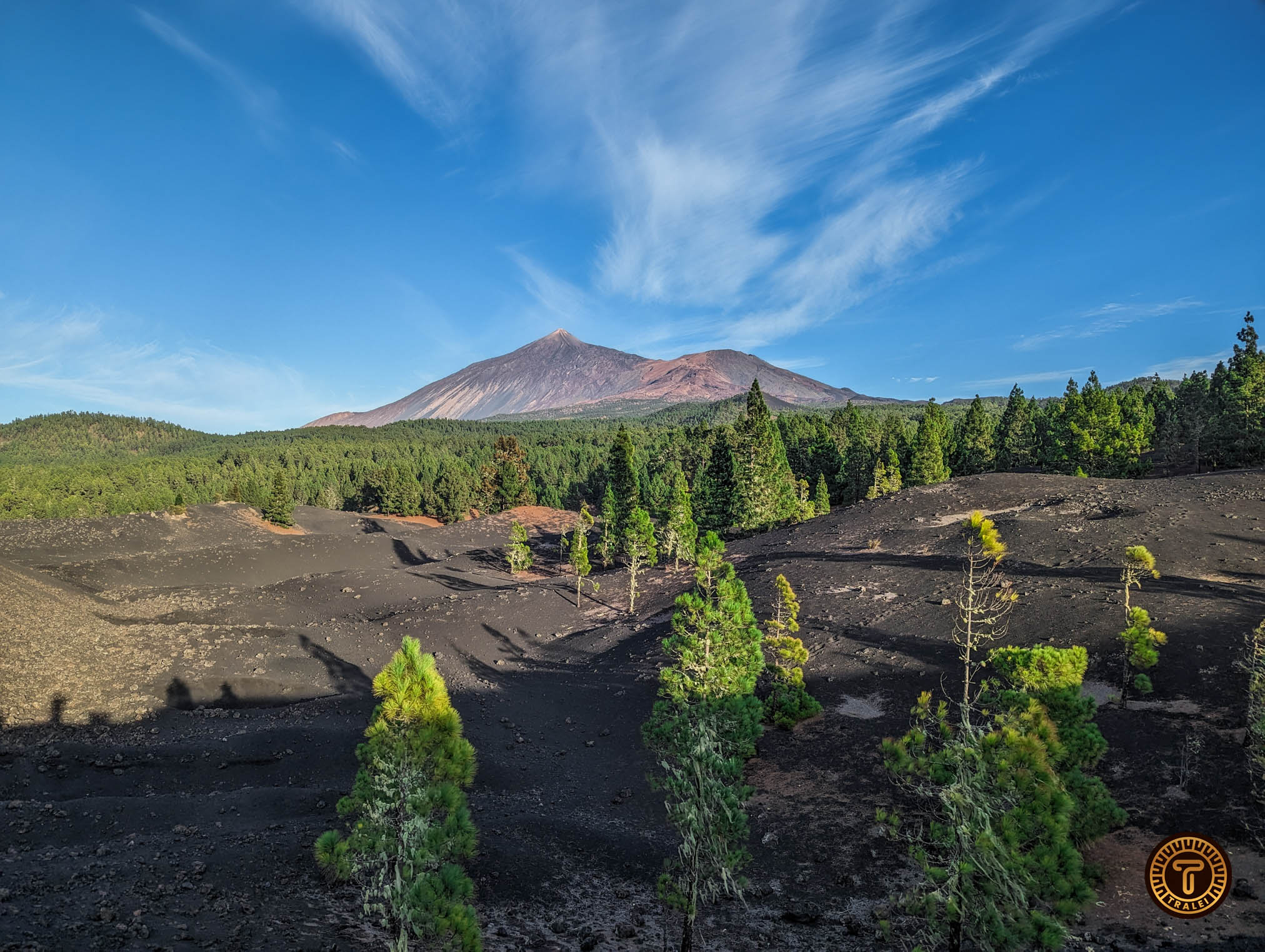
Tenerife is well known for its tropical climate, and most people come to relax on its beaches, but there are way more activities and things
Tenerife
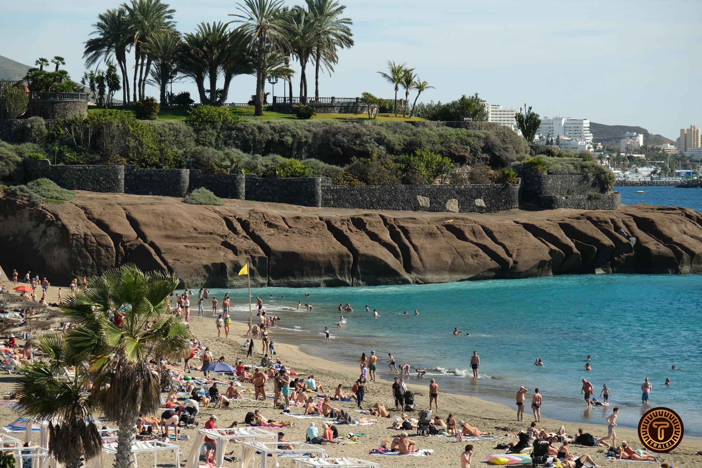
Best Sand Beaches in Tenerife
There are plenty of good sand beaches in Tenerife, you just need to find them. In this article we will review and give you directions