Rio is a very versatile city, offering beautiful natural scenery, world wonders, pristine beaches and hikes full of adrenaline and amazing views. Which is what you are looking for.
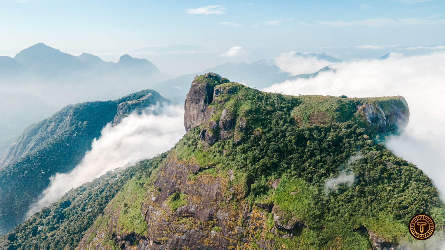
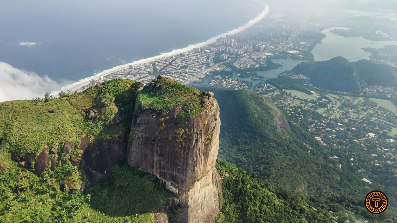
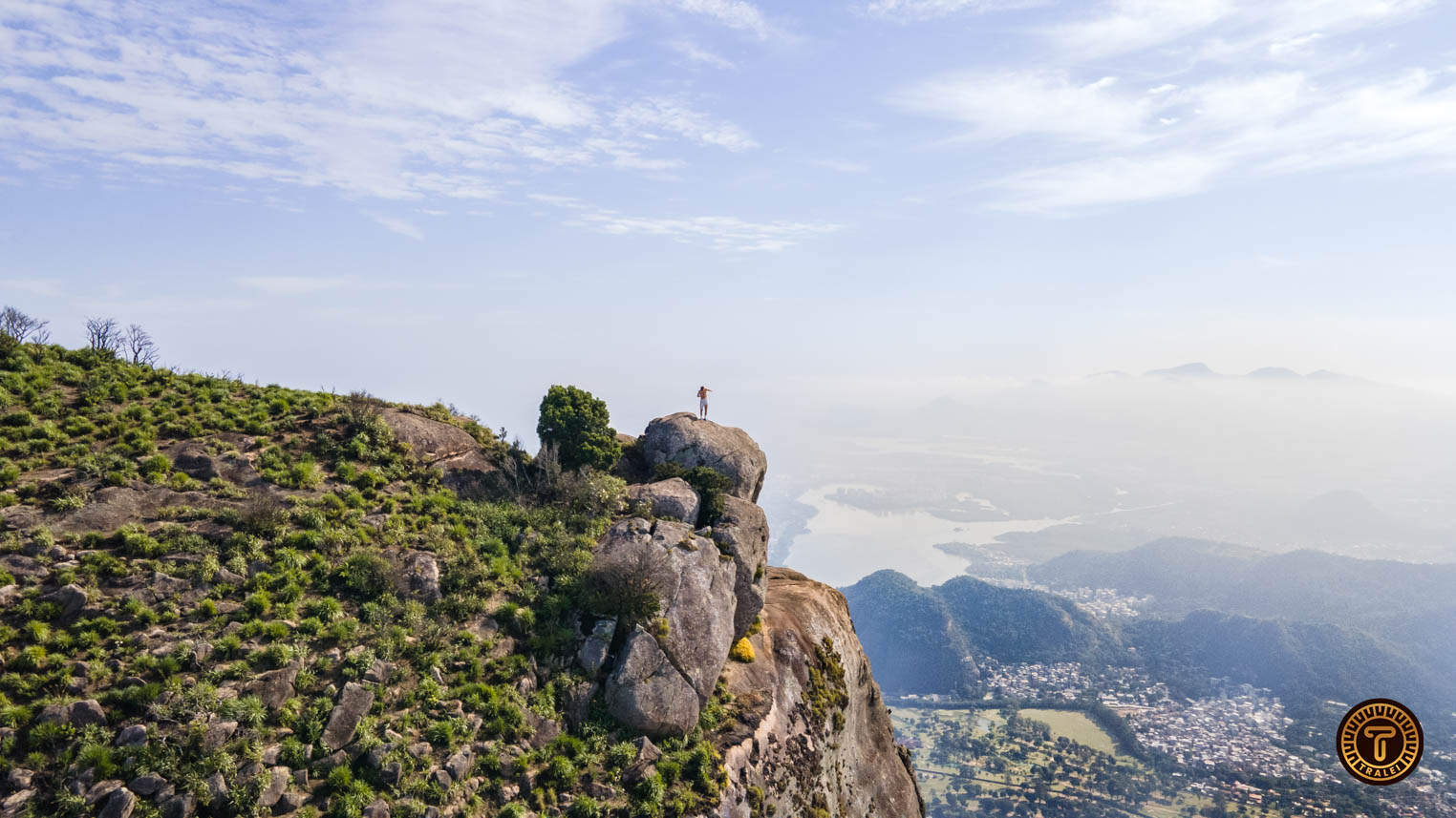
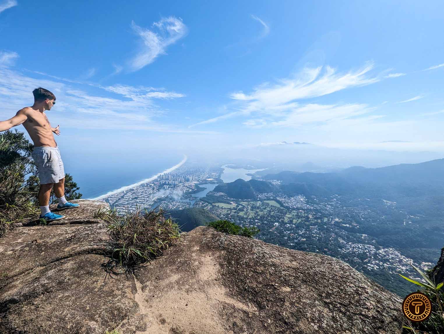
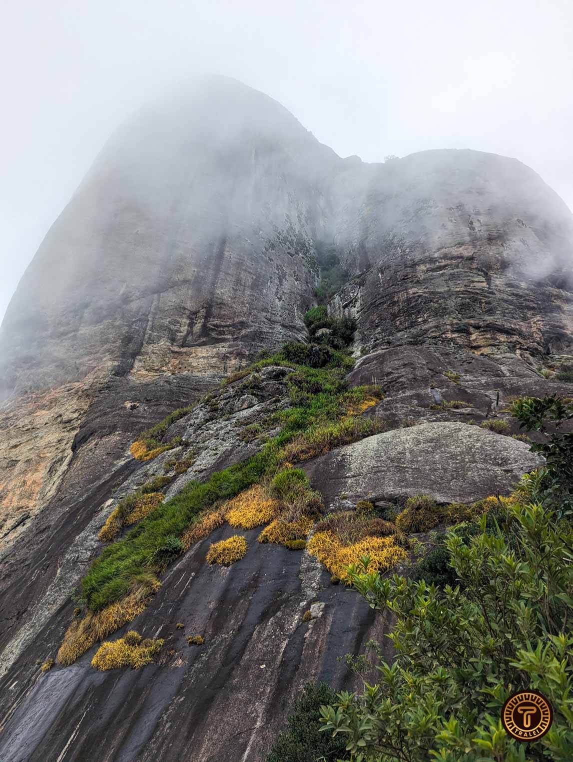
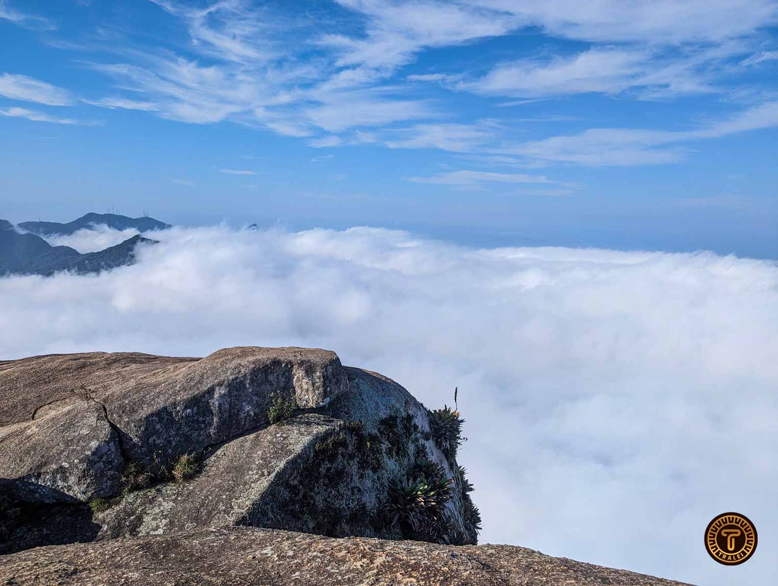
Pedra da Gávea is the largest monolith by the sea in the world with its 842m above sea level and overlooks the entire south zone of Rio de Janeiro and the west zone.
Pedra Da Gavea is not often mentioned as a must when visiting Rio (although in our opinion it is) ; therefore, there is not much information about the hike online. This article will cover how to get to the trailhead, important information, distance, precautions, estimated time to go up and down, and all other information needed to complete the Pedra Da Gávea Hike.
Disclaimer
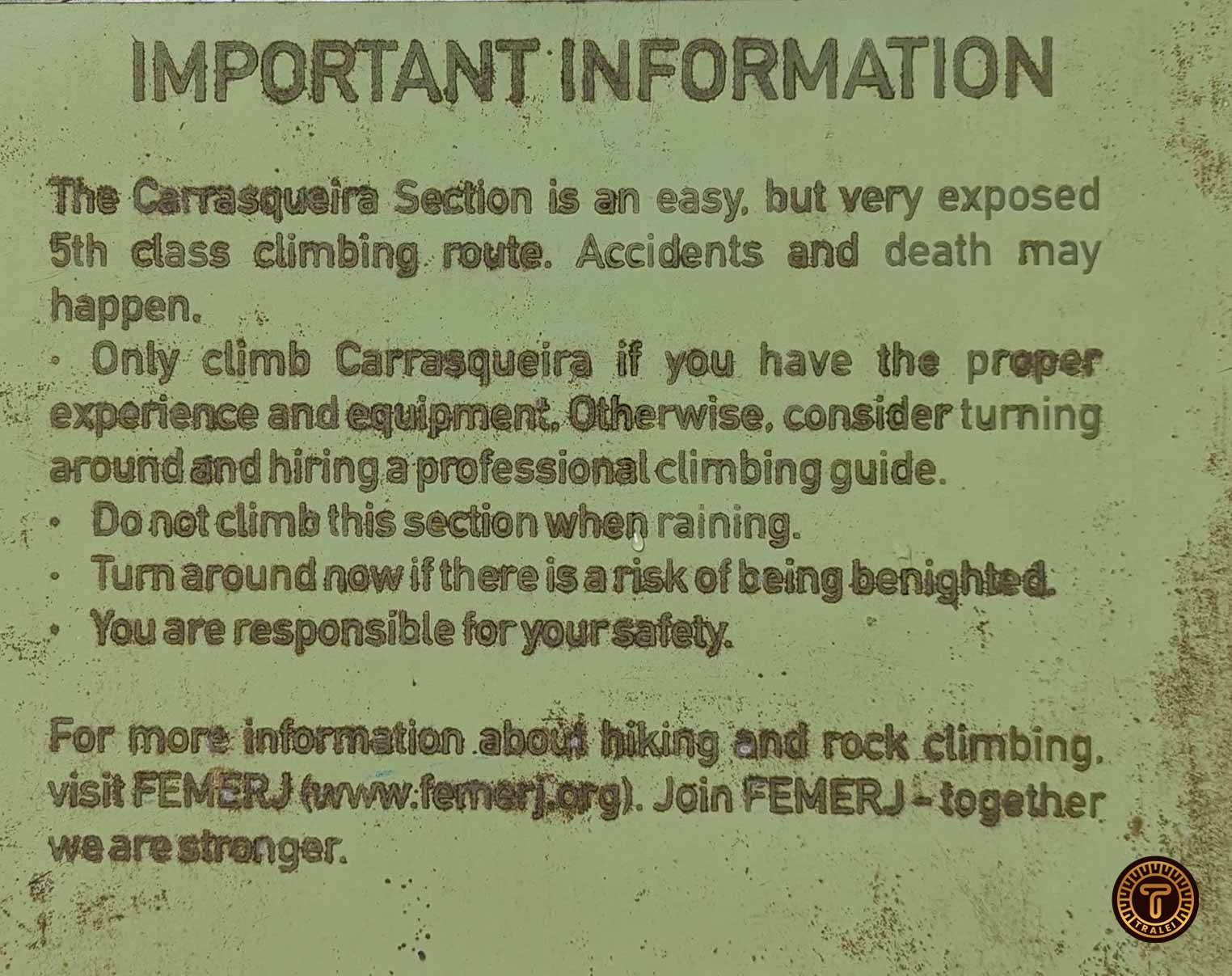
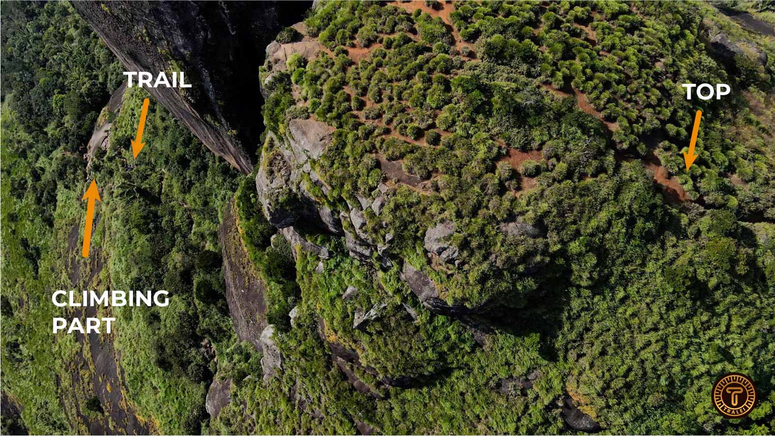
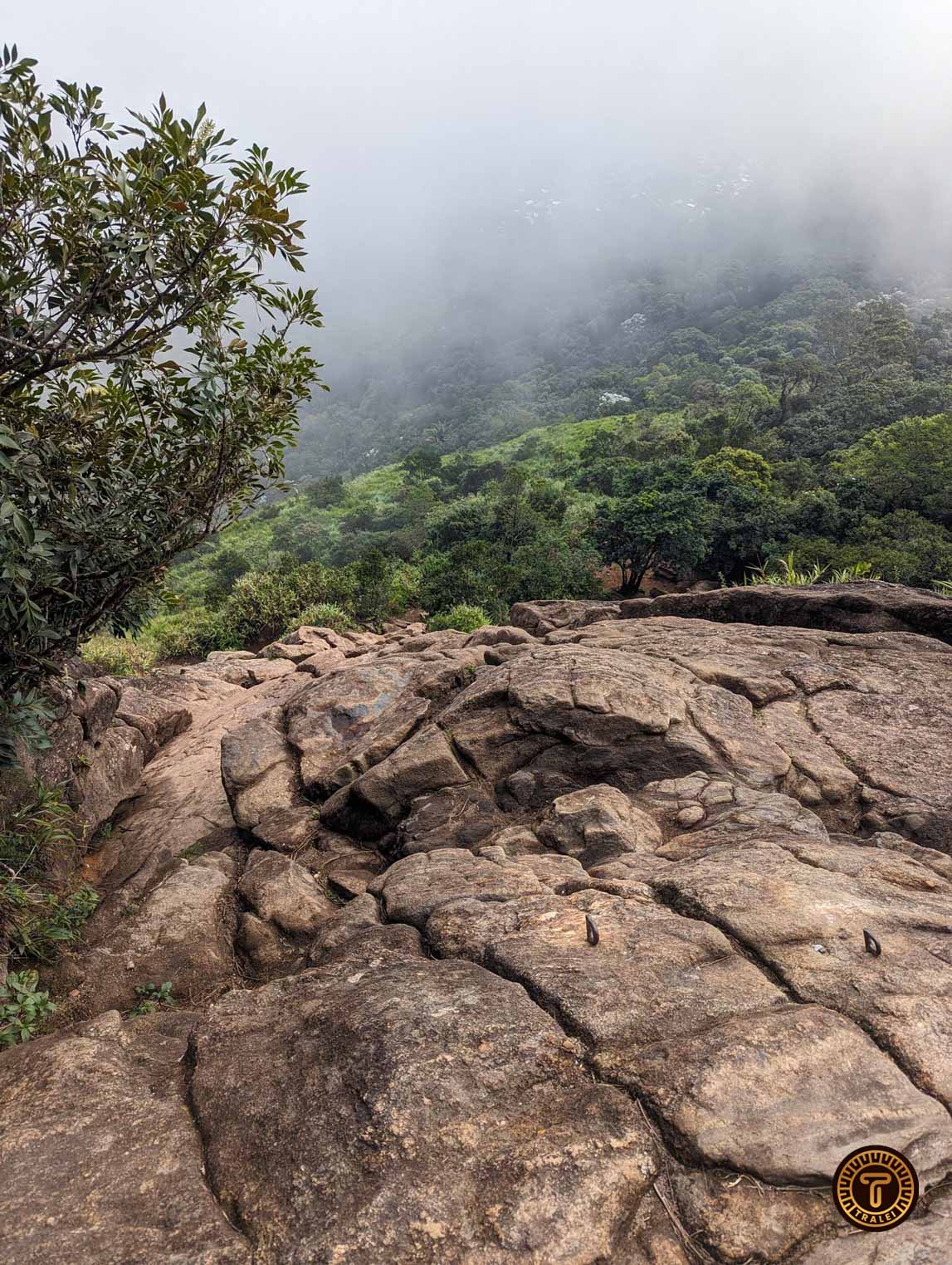
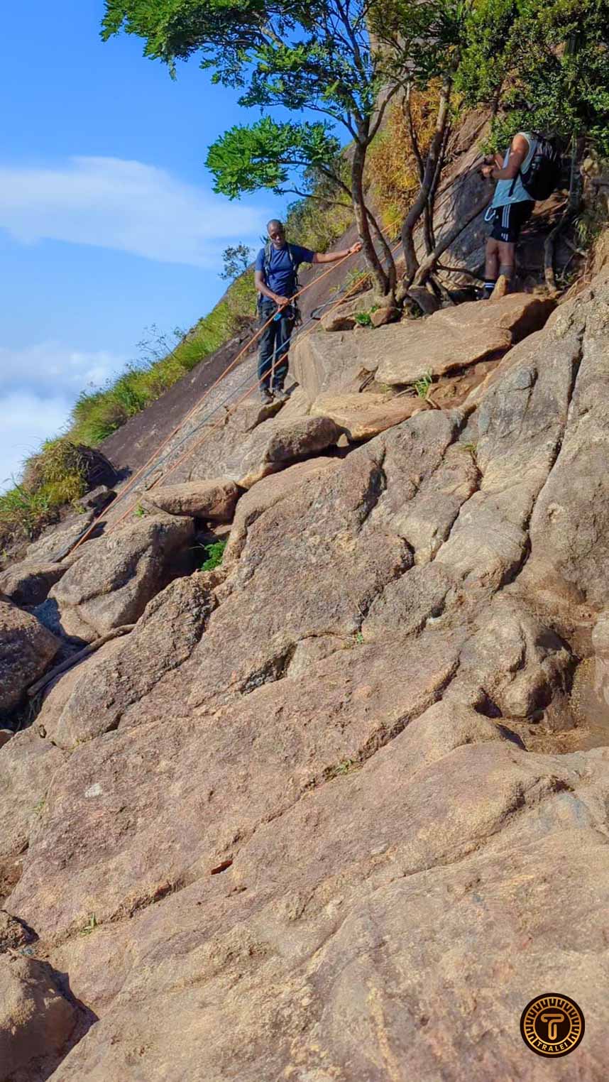
We HIGHLY SUGGEST to hire a guided tour unless you are a professional climber or you can bring climbing equipment. There is a section of the climb which is very steep and you will literally need to climb. Many people have died trying to climb that part.
Tours include all the necessary equipment to complete the hike and a tour guide that will take you through the route and explain everything. There is an option with drone pics and video at the top and this other option in case you need pickup (although we will give you alternatives on how to get there here).
We completed the hike without any equipment and it was very risky. Our initial intentions were to check the hike and decide on the spot about the risk and hike to Garganta do Céu if it was too dangerous. But once there we realized that Garganta do Céu it’s a completely different trail.
Getting To the trailhead
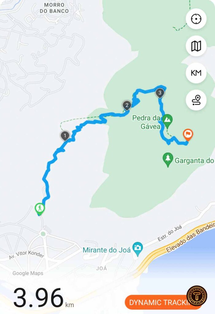
There are a few options to get to the trailhead. Which is located here.
- Our preferred option and the one we used was using a combination of public transport and Uber. We had the metro close to our hotel so we took the metro and got down on São Conrado in Rocinha. Which was about 1.40 USD per person for each way and then an Uber from there straight to the trailhead which was 3.20 USD. This came up to a total of 12 USD for 2 people.
- The second option is to go by Bus which is the 557 from Rio. From the stop, you will still have to walk for about 15 min to reach the trailhead. And around 1 USD.
- Finally, there are tours that offer private transportation from your hotel to the trailhead, you can check the tour and the prices here.
At the trailhead, there is a cabin where you have to register with a guard. The responsible person for the group has to fill out emergency info and start time.
Duration & Distance
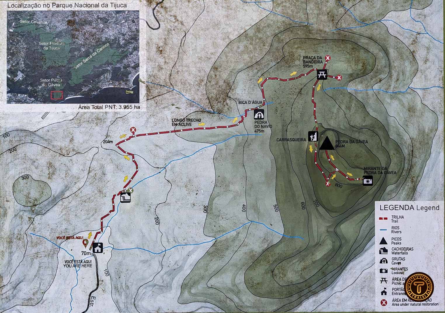
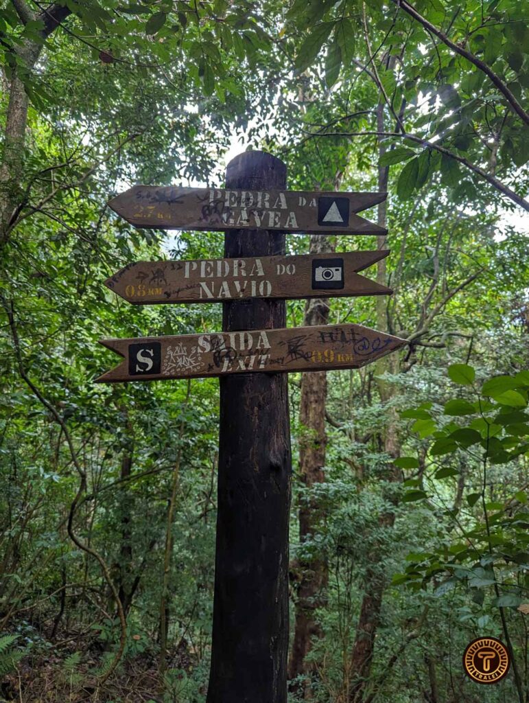
The total distance from the trailhead to the top is about 4 km.
It takes most people around 2 hours – 3 hours to go up (depending on group size) as the climb has to be performed 1 by 1 both going up and down. It takes about the same time to go down.
Most people and tour agencies spend about 2 hours on the top to eat lunch, take pictures, drone videos, and admire the views. So You will need to book at least 6 hours of your day to do the trail.
The Trail
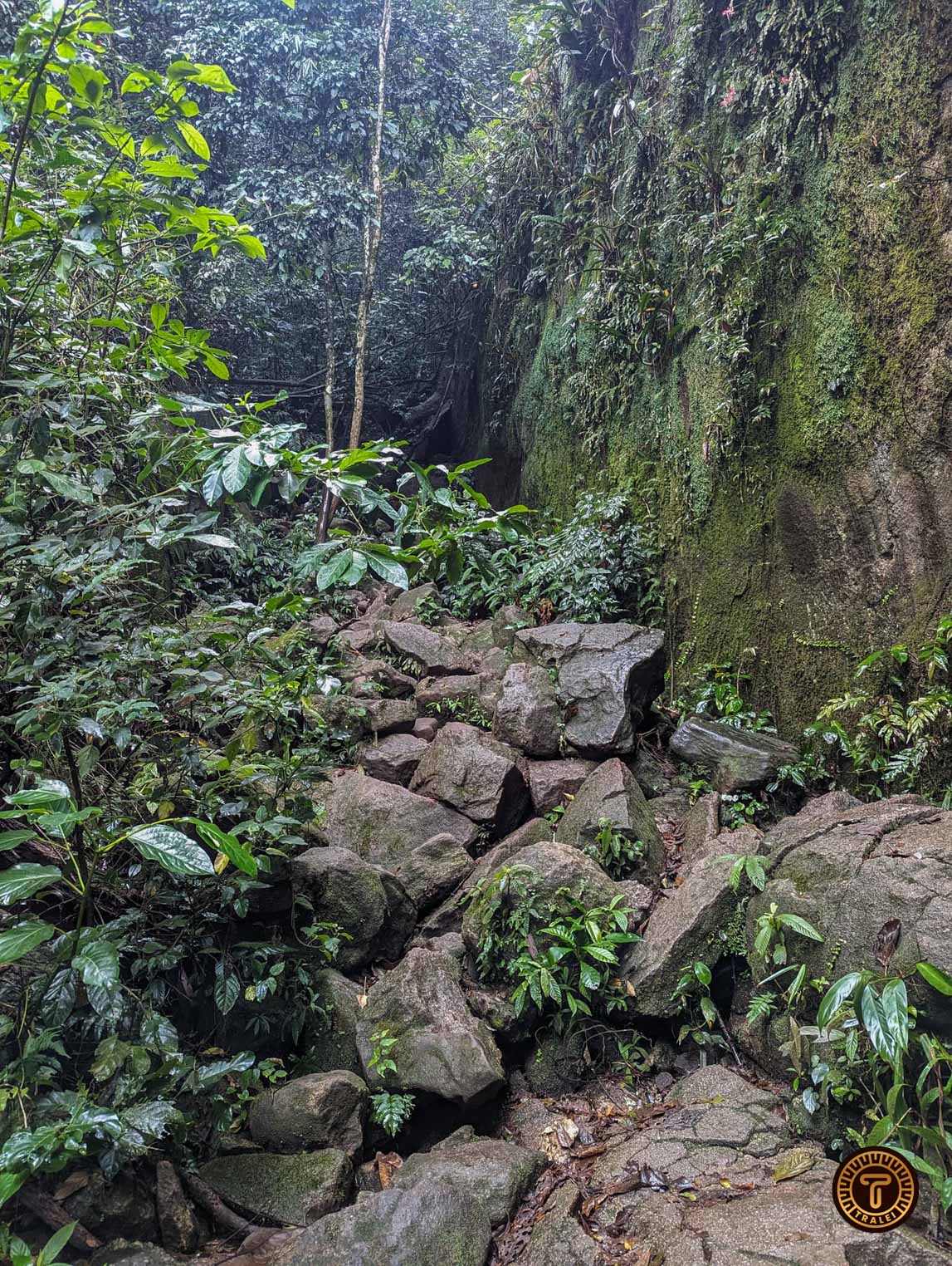
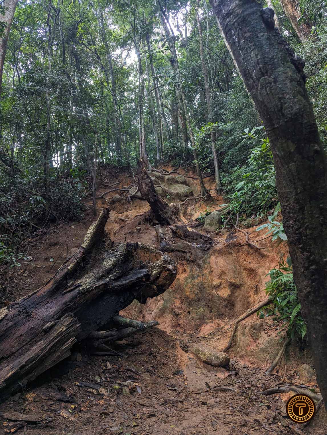
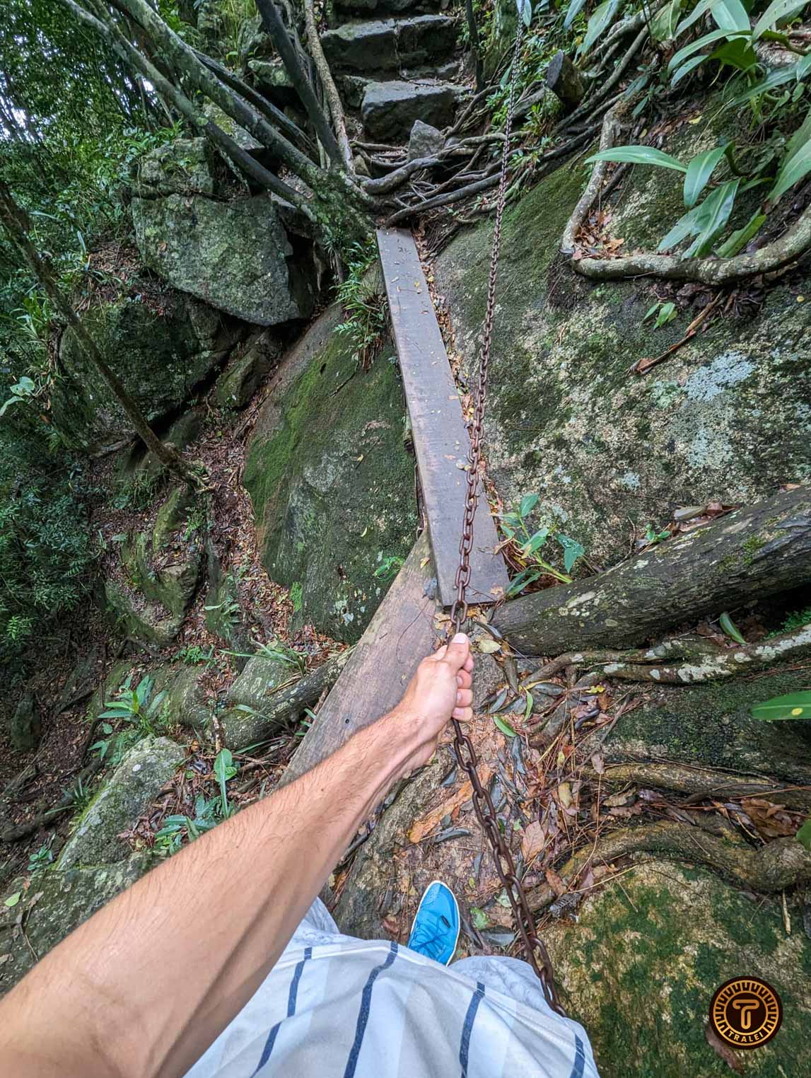
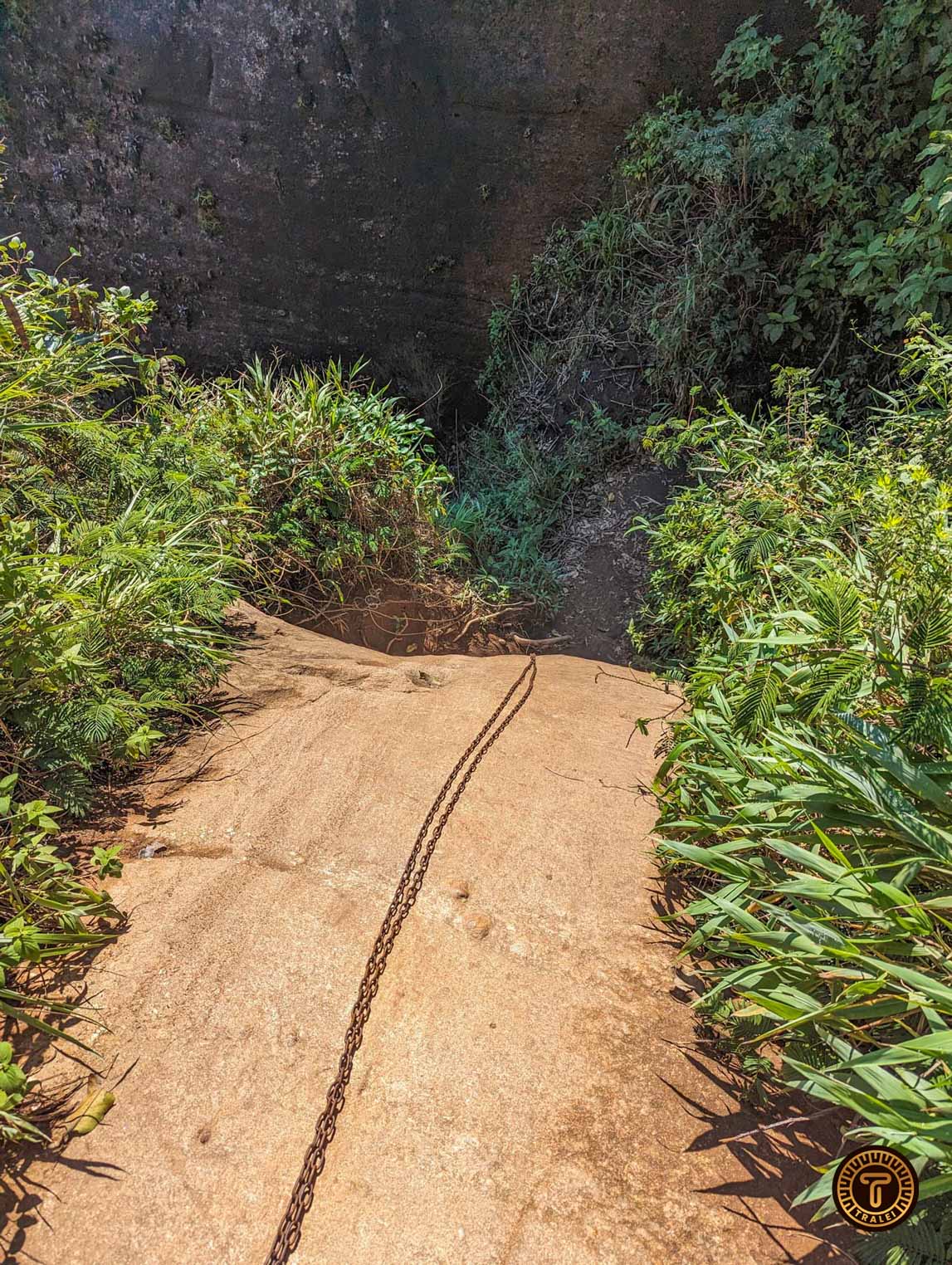
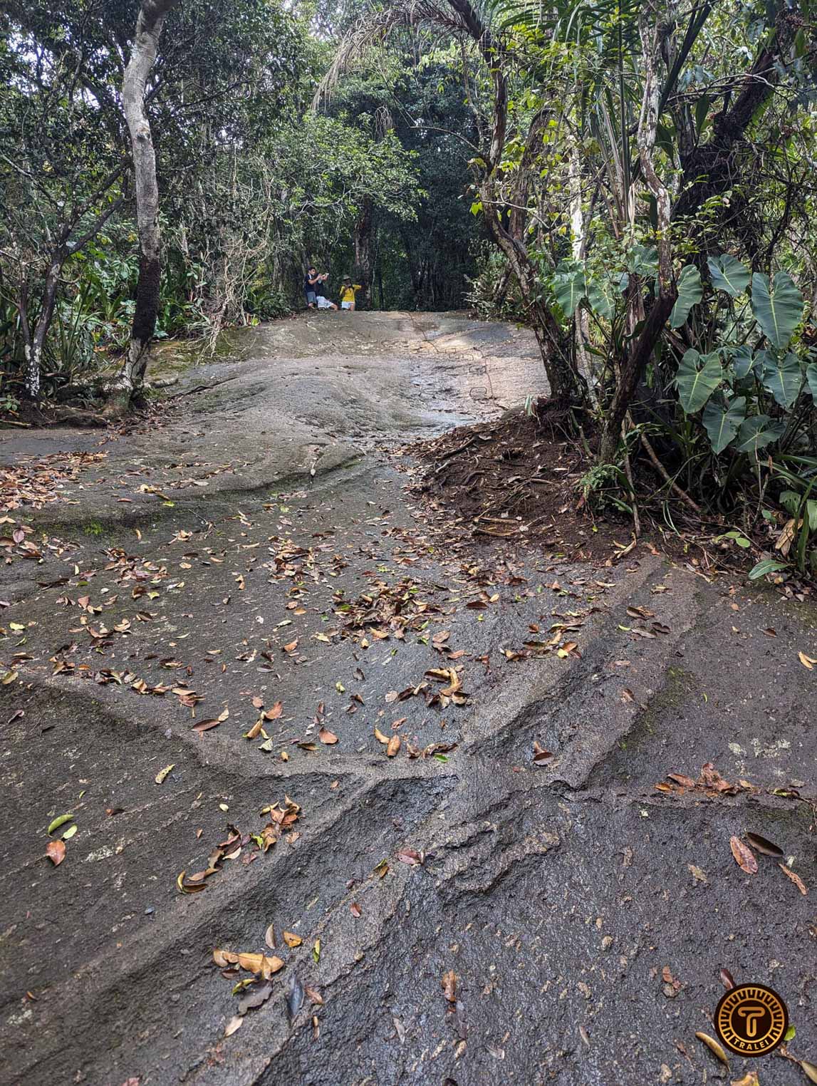
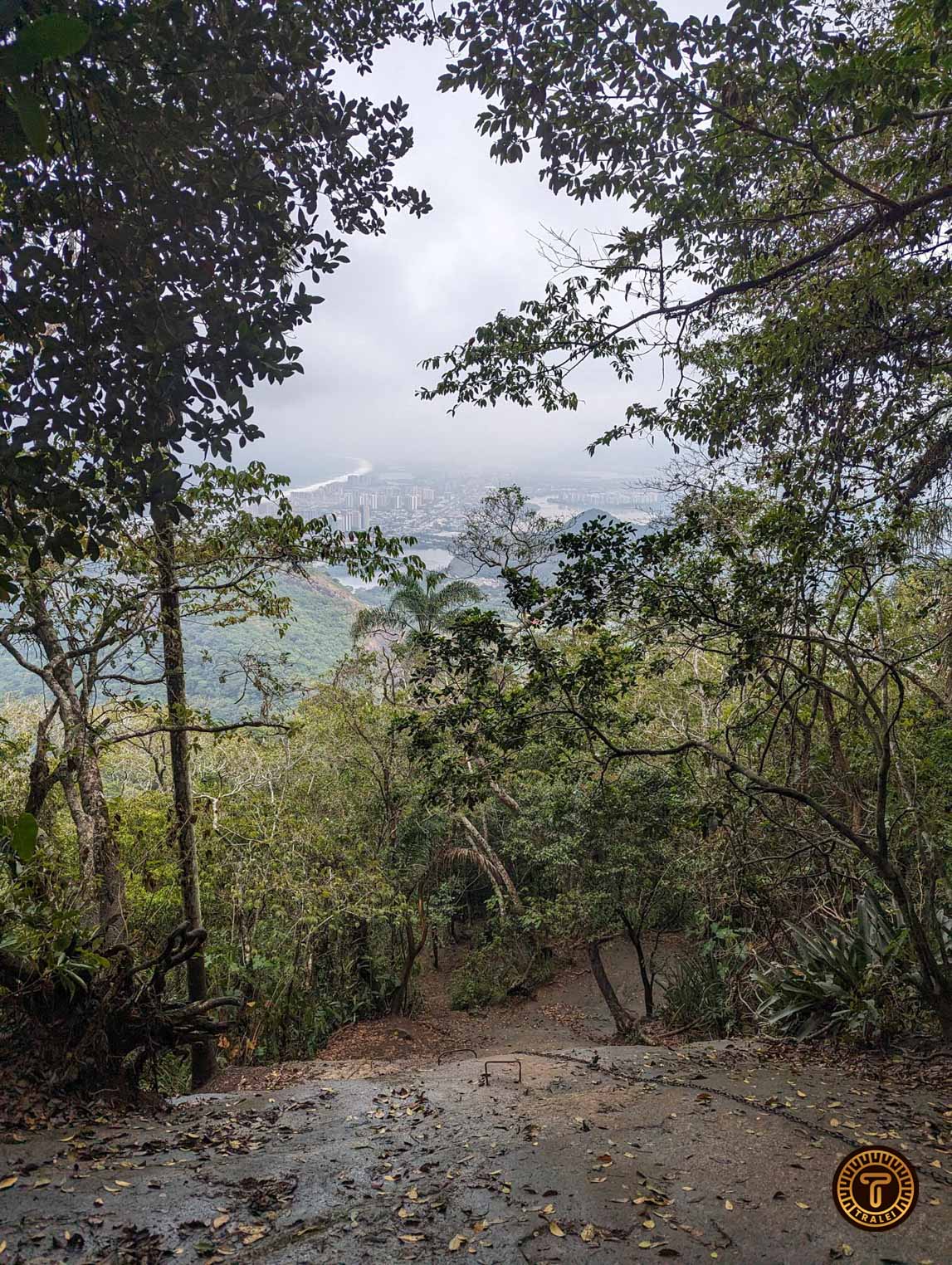
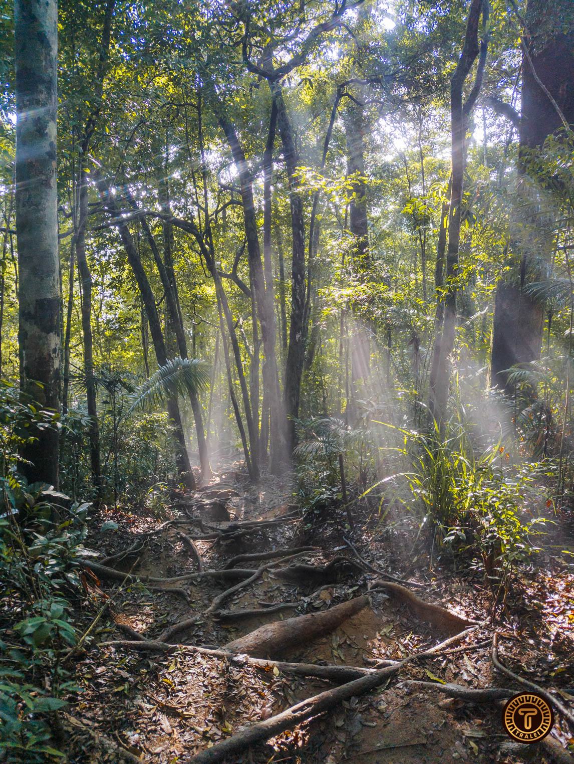
As we mentioned before we highly recommend getting a tour guide. Although the trail is easy to follow and there are arrows indicating the way there are other few dangerous parts on the way, like climbs with chains and a climb of a waterfall that has slippery rocks.
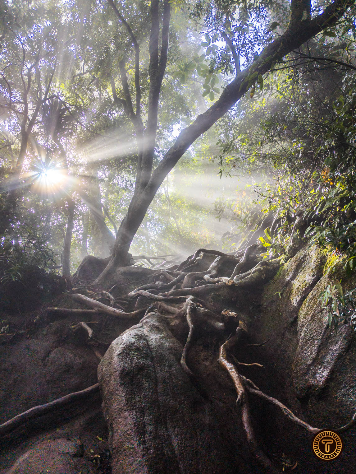
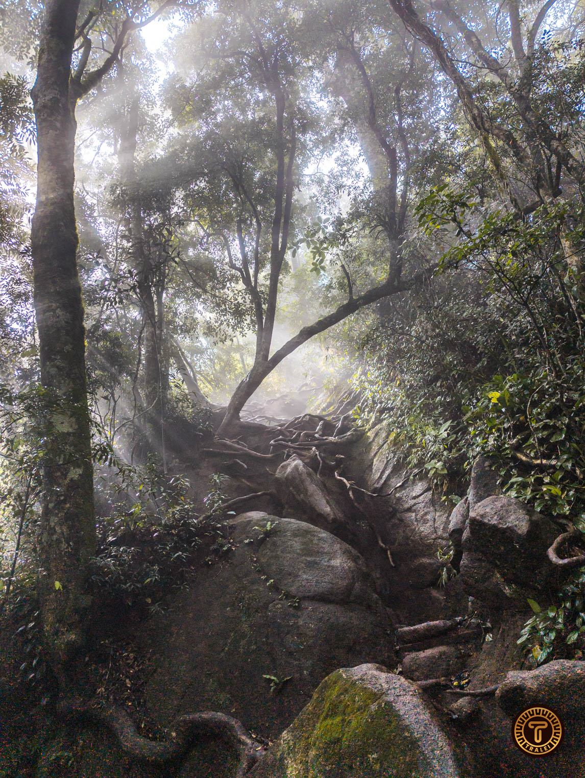
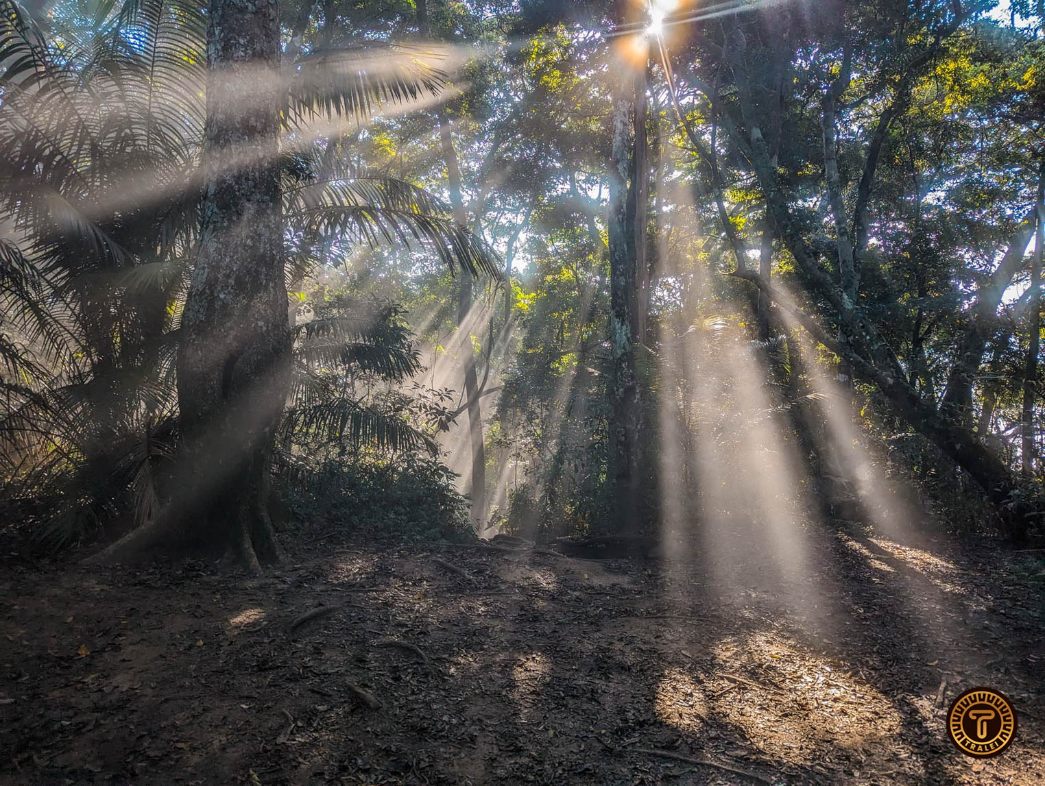
But not all are dangers on the trail. When the sun’s rays come through the vegetation on some parts of the trails it seems that you are on a fairytale. (see Gallery)
Finally, we also spotted monkeys near the trailhead and some people have seen sloths so have your eyes and ears open!
Other information
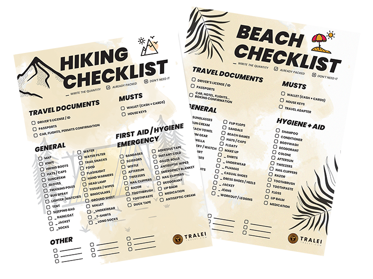
We also recommend bringing the following:
- Food. As you will spend at least 6 hours on the trail
- Hiking Shoes: we have already mentioned it is a very demanding trail.
- Plenty of water: although you can buy this and some other snacks in a small store right before the trailhead).
- Insect Repellent
Check the weather if you are going if it is cloudy on both sides you won’t be able to see anything other than clouds at the top.
Thank you for reading! If you have any questions about the trail don’t hesitate to write them in the comments section.
